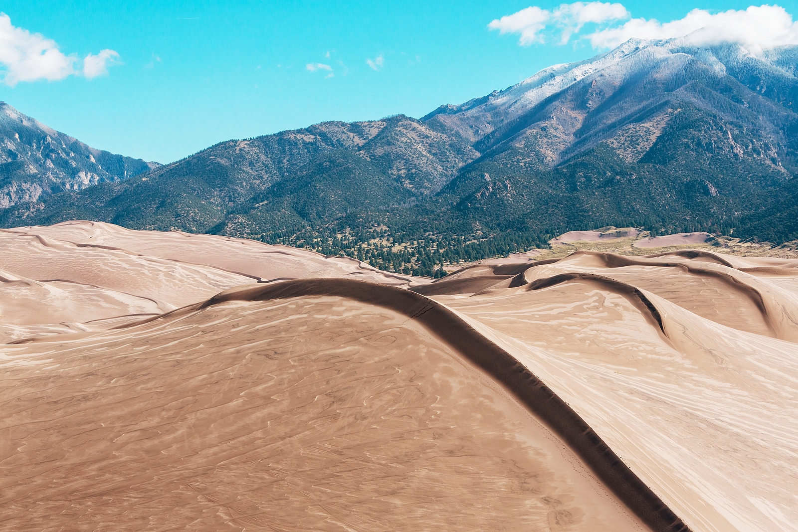
Great Sand Dunes National Park and Preserve
Great Sand Dunes National Park and Preserve is an American national park that conserves an area of large sand dunes up to 750 feet (230 m) tall[5] on the eastern edge of the San Luis Valley, and an adjacent national preserve in the Sangre de Cristo Range, in south-central Colorado, United States.[6] The park was originally designated Great Sand Dunes National Monument on March 17, 1932, by President Herbert Hoover. The original boundaries protected an area of 35,528 acres (55.5 sq mi; 143.8 km2).[2] A boundary change and redesignation as a national park and preserve was authorized on November 22, 2000, and then established on September 24, 2004.[3] The park encompasses 107,342 acres (167.7 sq mi; 434.4 km2) while the preserve protects an additional 41,686 acres (65.1 sq mi; 168.7 km2) for a total of 149,028 acres (232.9 sq mi; 603.1 km2).[1] The recreational visitor total was 527,546 in 2019.[4]
The park contains the tallest sand dunes in North America.[7] The dunes cover an area of about 30 sq mi (78 km2) and are estimated to contain over 1.2 cubic miles (5 billion cubic metres) of sand.[8] Sediments from the surrounding mountains filled the valley over geologic time periods. After lakes within the valley receded, exposed sand was blown by the predominant southwest winds toward the Sangre de Cristos, eventually forming the dunefield over an estimated tens of thousands of years.[9] The four primary components of the Great Sand Dunes system are the mountain watershed, the dunefield, the sand sheet, and the sabkha.[8] Ecosystems within the mountain watershed include alpine tundra, subalpine forests, montane woodlands, and riparian zones.[10]

